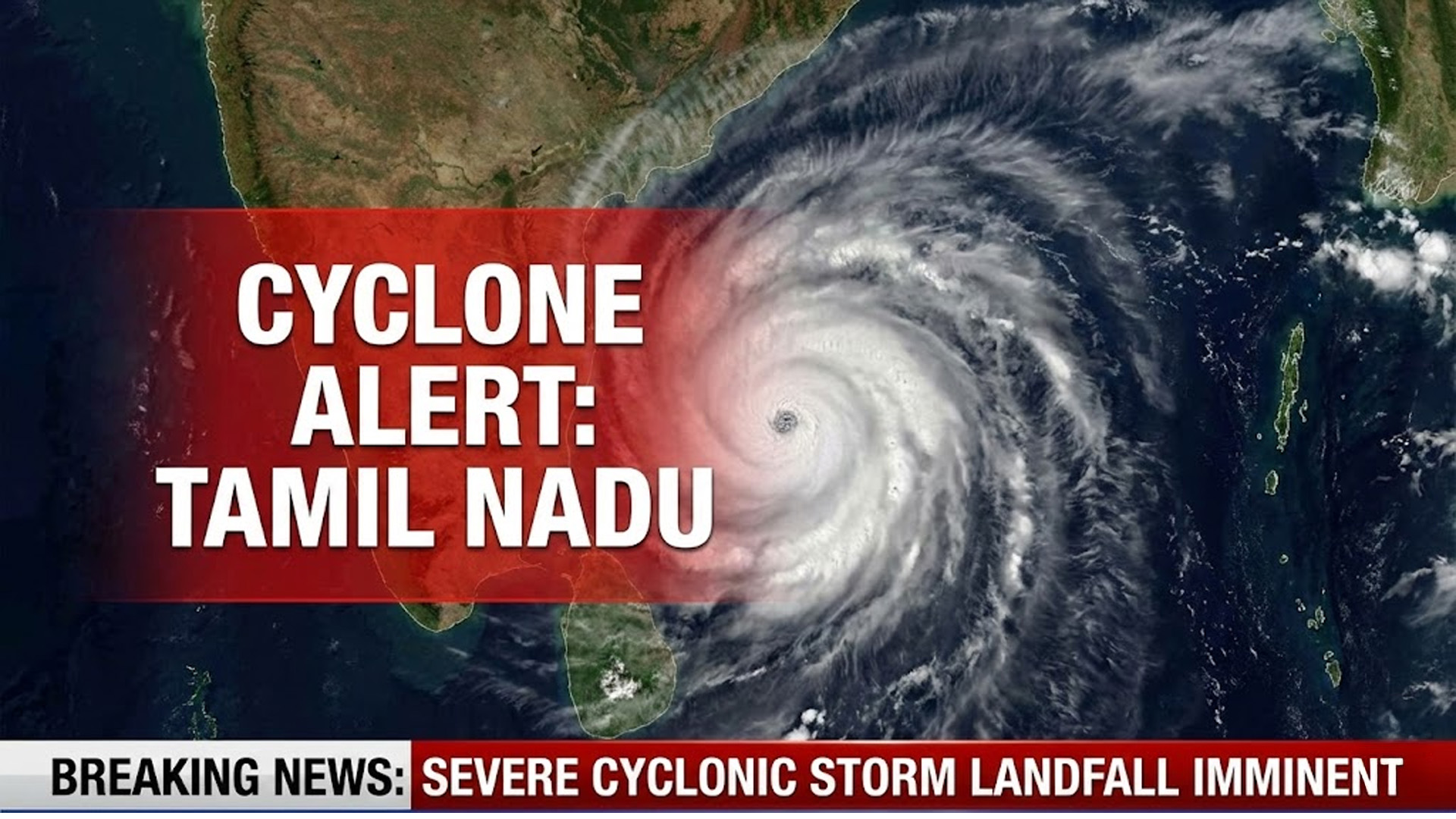
As Cyclone Ditwah forms over the southwest Bay of Bengal and moves steadily north-northwest, the India Meteorological Department (IMD) has issued warnings for heavy to very heavy rainfall across multiple southern Indian states over the next five days.
🌀 What is Cyclone Ditwah — and Where Is It Now?
- Ditwah originated as a low-pressure area over the southwest Bay of Bengal near Sri Lanka, which, under favourable sea-surface and wind conditions, intensified into a cyclonic storm.
- As of November 28, the storm sits over coastal Sri Lanka and the adjoining sea, steadily tracking north-northwest at about 7–10 km/h.
- It is forecast to approach the Indian coast — especially north Tamil Nadu, Puducherry, and southern Andhra Pradesh — by early November 30.
⚠️ Rain & Wind Alerts: Who’s on Watch
The IMD has flagged several southern states for potential impact:
| Region / State | Expected Weather Impact |
|---|---|
| Tamil Nadu (especially coastal & northern districts) | Heavy to very heavy rainfall from Nov 28–30; extremely heavy downpours possible around Nov 29–30. |
| Puducherry | Strong rain and possible coastal wind effects as cyclone nears coast. |
| Southern Andhra Pradesh / Rayalaseema | Heavy rain likely Nov 29–Dec 1; rainfall intensity expected to rise as cyclone approaches. |
| Kerala, Mahe, Lakshadweep, South-interior Karnataka, Telangana | Rain and possible thunderstorms over next few days due to moisture spread. |
In addition, warnings have been issued for fisherfolk and maritime activity — seafaring is strongly discouraged until further notice.
🌧️ Why Ditwah Matters: Impacts & Precautions
- Ditwah is the third cyclonic storm of the 2025 post-monsoon season in the northern Indian Ocean basin, underscoring an active, volatile weather period.
- As the storm approaches, coastal districts may face flooding, waterlogging, strong winds, and disruption in transport and fishing.
- Residents in vulnerable areas are urged to stay alert for weather advisories, avoid unnecessary travel, and move to safe shelters if instructed by authorities.
🔎 What to Watch: Storm Track, Rainfall & Official Alerts
Over the next 48–72 hours, critical updates will revolve around:
- Any change in Ditwah’s track — whether it turns more north-east, or skirts along the coast.
- Rainfall intensity forecasts — especially heavy downpours over Tamil Nadu and coastal Andhra Pradesh.
- Warnings issued for fisherfolk, low-lying areas, and coastal zones.
Local administrators in states like Tamil Nadu, Andhra Pradesh, and Puducherry have already been put on high alert, and the public is advised to monitor local weather bulletins.


